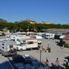

TOURIST BOX: Pietra Ligure City Map (PDF)
![]()
![]()

![]()
![]()


TOURIST BOX: Pietra Ligure City Map (PDF)

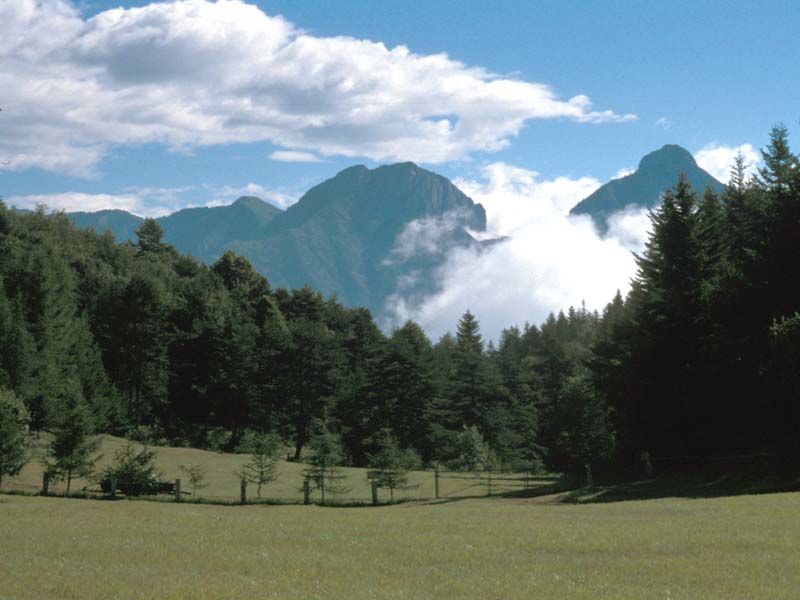
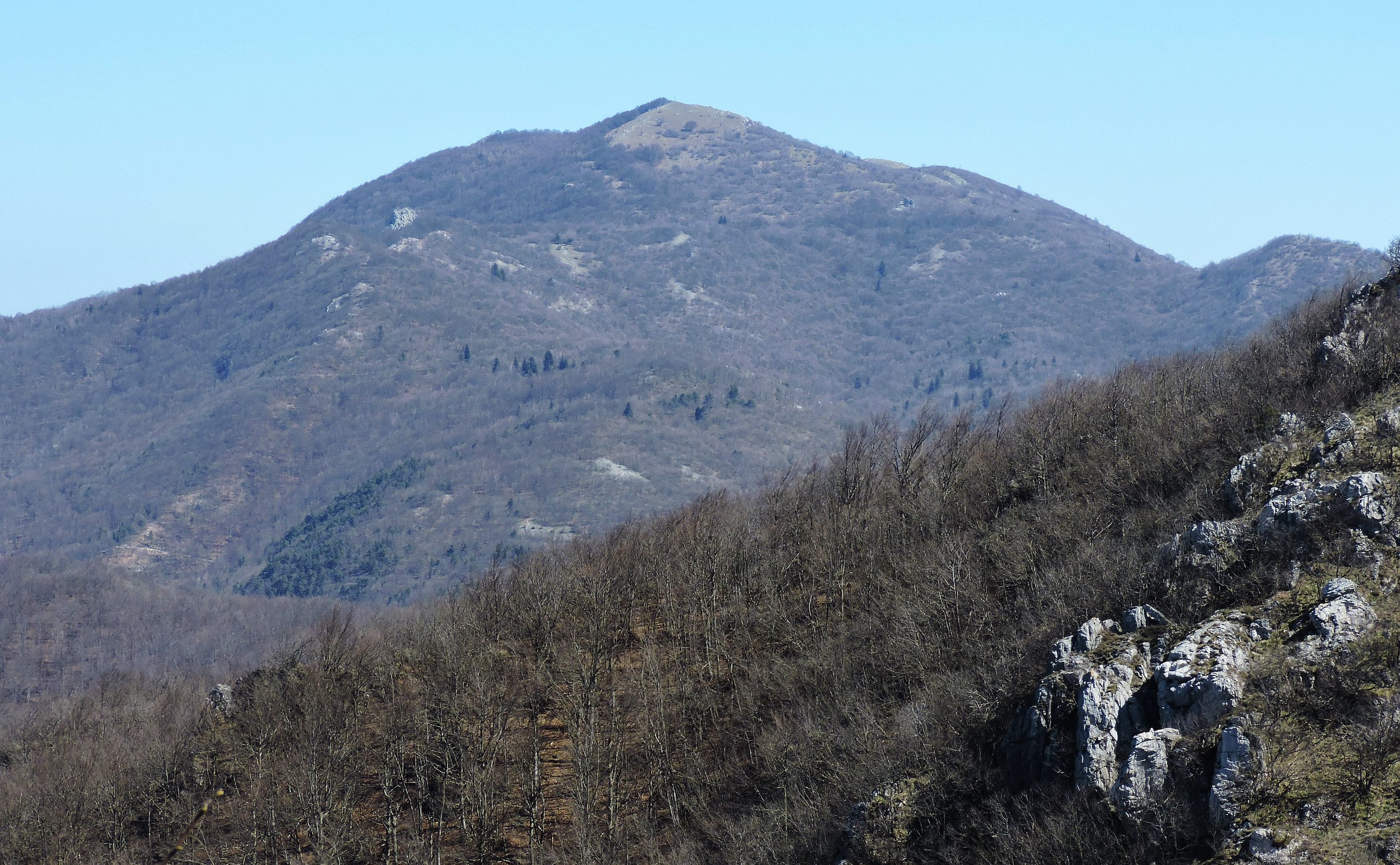
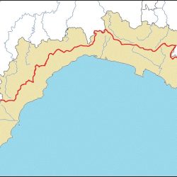
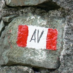
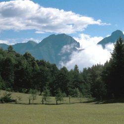
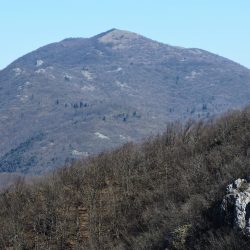
TOURIST BOX: Pietra Ligure Val Maremola Trekking Area (PDF)
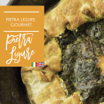
GASTRONOMIC TOURS IN THE STONE CENTER, TASTINGS WITH LOCAL PRODUCERS AND TRADITIONAL PESTATO AT THE MORTAR WORKSHOPS Download Pietra gourmet (PDF) Vai alla scheda informativa percorsi gastronomici Vai alla pagina
© Copyright Comune di Pietra Ligure – P. IVA e C.F. 00332440098 | Informativa Privacy | Credits Comunicadigitale.com – Onstage S. R. L.